Naypyidaw [Myanmar], November 16 (ANI): An earthquake of magnitude 3.5 struck Myanmar on Sunday, a statement by the National Center for Seismology (NCS) said.
As per the NCS, the earthquake occurred at a shallow depth of 10km, making it susceptible to aftershocks.
In a post on X, the NCS said, “EQ of M: 3.5, On: 16/11/2025 02:40:25 IST, Lat: 23.95 N, Long: 94.20 E, Depth: 10 Km, Location: Myanmar.”
EQ of M: 3.5, On: 16/11/2025 02:40:25 IST, Lat: 23.95 N, Long: 94.20 E, Depth: 10 Km, Location: Myanmar.
For more information Download the BhooKamp App https://t.co/5gCOtjdtw0 @DrJitendraSingh @OfficeOfDrJS @Ravi_MoES @Dr_Mishra1966 @ndmaindia pic.twitter.com/1lNWP6ZWpR— National Center for Seismology (@NCS_Earthquake) November 15, 2025
Shallow earthquakes are more dangerous than deeper ones due to their greater energy release closer to the Earth’s surface, causing stronger ground shaking and increased damage to structures and casualties, compared to deeper earthquakes, which lose energy as they travel to the surface.
Earlier on November 14, an earthquake of magnitude 3.9 struck the region at a depth of 35 km.
In a post on X, the NCS said, “EQ of M: 3.9, On: 14/11/2025 15:08:48 IST, Lat: 23.87 N, Long: 94.05 E, Depth: 35 Km, Location: Myanmar.”
EQ of M: 3.9, On: 14/11/2025 15:08:48 IST, Lat: 23.87 N, Long: 94.05 E, Depth: 35 Km, Location: Myanmar.
For more information Download the BhooKamp App https://t.co/5gCOtjdtw0 @DrJitendraSingh @OfficeOfDrJS @Ravi_MoES @Dr_Mishra1966 @ndmaindia pic.twitter.com/AeDUeUGhHa— National Center for Seismology (@NCS_Earthquake) November 14, 2025
Myanmar is vulnerable to hazards from moderate and large magnitude earthquakes, including tsunami hazards along its long coastline. Myanmar is wedged between four tectonic plates (the Indian, Eurasian, Sunda, and Burma plates) that interact in active geological processes.
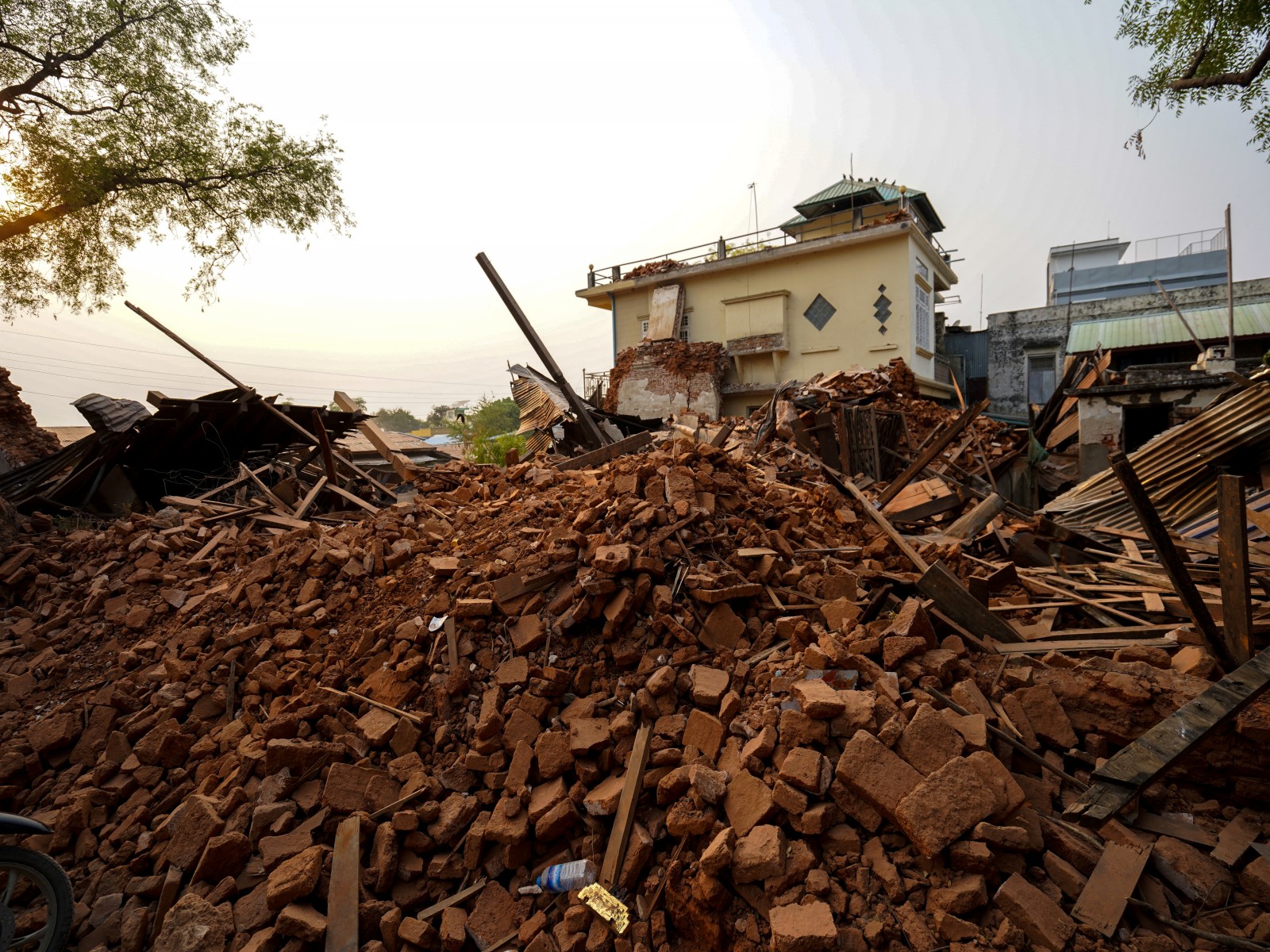
In the aftermath of the magnitude 7.7 and 6.4 earthquakes that struck central Myanmar on March 28, the World Health Organisation (WHO) warned of a series of rapidly rising health threats for tens of thousands of displaced people in earthquake-affected areas: tuberculosis (TB), HIV, vector- and water-borne diseases.
A 1,400-kilometre transform fault runs through Myanmar and connects the Andaman spreading centre to a collision zone in the north called the Sagaing Fault.
The Sagaing Fault increases the seismic hazard for Sagaing, Mandalay, Bago, and Yangon, which together represent 46 per cent of Myanmar’s population. Although Yangon is relatively far from the fault trace, it still suffers from significant risk due to its dense population. For instance, in 1903, an intense earthquake with a magnitude of 7.0 that occurred in Bago also struck Yangon. (ANI)


